102 Windhaag round
Path number: 102
Starting place: 4263 Windhaag bei Freistadt
Destination: 4263 Windhaag bei Freistadt
Markt 1
4263 Windhaag bei Freistadt
4263 Windhaag bei Freistadt

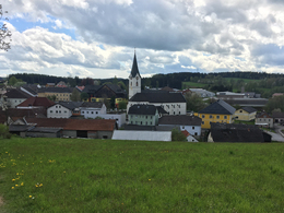
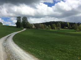
From the market square in Windhaag, the first few meters lead uphill on a meadow and a gravel path to Pieberschlag.
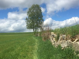
Past the weather shuttle, the next four kilometers follow an undulating profile up to the first climb. Once you have mastered this, you are rewarded with a technically difficult downhill section through the forest. Immediately afterwards, the longest, but not so steep, uphill section awaits. A fast and varied descent on asphalt and gravel takes you back to Windhaag. But before this tour ends, you have to climb a very steep ascent through a beautiful forest. Once at the top, the last few kilometers lead downhill and flat back to the starting point.Around 42% of the route is on natural trails, while the remaining 58% is on paved paths and asphalt (11%).
Nature is always there for us. So it is only fair that we are there for nature too.
Please observe the fair play rules for mountain biking!
Path number: 102
Starting place: 4263 Windhaag bei Freistadt
Destination: 4263 Windhaag bei Freistadt
duration: 1h 52m
length: 22,5 km
Altitude difference (uphill): 471m
Altitude difference (downhill): 465m
Lowest point: 709m
Highest point: 878m
difficulty: medium
condition: medium
panoramic view: Great panorama
Paths covering:
Asphalt, Path / trail, Gravel, Street
Starting point: Market place in Windhaag near Freistadt
Destination: Market place in Windhaag near Freistadt
- Suitable for groups
- Suitable for teenagers
- Suitable for single travelers
- Suitable for friends
- Suitable for couples
- Spring
- Summer
- Autumn
Please get in touch for more information.
Markt 1
4263 Windhaag bei Freistadt
Phone +43 50 7263 - 31
E-Mail anfrage@muehlviertel.at
Web www.muehlviertel-urlaub.at/bike
https://www.muehlviertel-urlaub.at/bike
powered by TOURDATA


