Steyrsbergerreith - Hutterer Böden
Path number: 11
Starting place: 4574 Vorderstoder
Destination: 4573 Hinterstoder
Vorderstoder 66
4574 Vorderstoder
4574 Vorderstoder

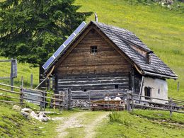
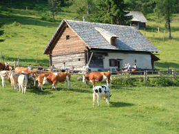
This beautifully situated alpine hut surrounded by alpine pastures is managed during the summer.
From Baumschlagerberg in Vorderstoder the trail leads over meadows first then up through a forest, crossing a forest road until you get to a second forest road taking you to turn off (HT) and further to your right to the soon visible Steyrsbergerreith pasture.The trail to the Hutterer Böden in Hinterstoder continues on a flat path, reaches a forest road (from here markings nr. 31), which you follow until you get to a fork in the road (the road to the left leads to the upper Rottal valley). Continue to your right to the lower Edtbauernalm, after the pasture the trail leads from a right turn over the Röthelstein to the Edtbauernalm (managed). The trail continues comfortably over the flat alpine plateau to the middle station of the Hutterer-Höss cable car (1.400 m altitude).
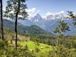
From here you can take the chair lift to the Hutterer Höß (1.848 m). Walk to the Höss summit and enjoy stunnning views. From the middle station you can take the cable car down to the valley, where the bus or hiking taxi takes you back to Vorderstoder.
The other way round is more comfortable. Take the bus to Hinterstoder and take the cable car to the Höss middle station. From here you can walk via the Edtbauernalm, Steyrsbergerreith and Baumschlagerberg back to Vorderstoder.
Walking time from cable car about 2,5 hours
Trail-Nr: 11
Path number: 11
Starting place: 4574 Vorderstoder
Destination: 4573 Hinterstoder
duration: 3h 15m
length: 7,0 km
Altitude difference (uphill): 656m
Altitude difference (downhill): 192m
Lowest point: 915m
Highest point: 1.400m
difficulty: medium
condition: medium
panoramic view: Great panorama
Paths covering:
Gravel
Starting point: Baumschlagerberg Vorderstoder
Destination: Hutterer Böden Hinterstoder
further information:
- Board possible
Accessibility / arrival
by car:
Motorway A1 to A9, exit Voralpenkreuz Hinterstoder, country road to Hinterstoder - 200 meters after the sign turn left to Vorderstoder Hinterstoder (approx 5 km).
by train:
Pyhrnbahn stop Windischgarsten (10 km) or Hinterstoder (15 km) -> from the place
Most economical season
- Spring
- Summer
- Autumn
Please get in touch for more information.
Vorderstoder 66
4574 Vorderstoder
Phone +43 7564 8255
Fax machine +43 7564 8255 - 20
E-Mail vorderstoder@pyhrn-priel.net
Web www.urlaubsregion-pyhrn-priel.at/
https://www.urlaubsregion-pyhrn-priel.at/


