116 Neumarkt Runde
Path number: 116
Starting place: 4212 Neumarkt im Mühlkreis
Destination: 4212 Neumarkt im Mühlkreis
Marktplatz 1
4212 Neumarkt im Mühlkreis
4212 Neumarkt im Mühlkreis

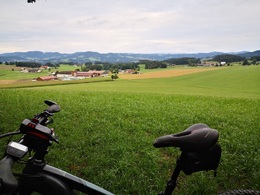
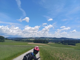
The start is at the market square in Neumarkt im Mühlkreis, from there you roll slightly downhill past the cemetery, briefly enjoying the panorama from Traunstein to Ötscher, you turn off onto a gravel path and rush down into the Kleine Gusental.
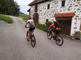
Steadily uphill, you pass the villages of Lamm, Baumgarten and Schallersdorf before reaching Trosselsdorf, where the Z'Trosselsdorf inn awaits you. Along the horse-drawn railway line past Matzelsdorf, you pay a visit to Kempfendorfer Berg before pedaling back to the starting point on the last few kilometers on trails, some of which are fine.
Around 47% of the route is on natural trails, while the remaining 53% is on paved paths and asphalt (7%).
Nature is always there for us. So it is only fair that we are there for nature too.
Please observe the fair play rules for mountain biking!
Path number: 116
Starting place: 4212 Neumarkt im Mühlkreis
Destination: 4212 Neumarkt im Mühlkreis
duration: 3h 5m
length: 35,5 km
Altitude difference (uphill): 866m
Altitude difference (downhill): 864m
Lowest point: 465m
Highest point: 705m
difficulty: easy
condition: medium
panoramic view: Individual Views
Paths covering:
Asphalt, Path / trail, Gravel, Other
Starting point: Marketplace Neumarkt im Mühlkreis
Destination: Marketplace Neumarkt im Mühlkreis
Most economical season
- Spring
- Summer
- Autumn
Please get in touch for more information.
Marktplatz 1
4212 Neumarkt im Mühlkreis
Phone +43 7941 8255
E-Mail anfrage@muehlviertel.at
Web www.neumarkt-muehlkreis.ooe.gv.at/
Web www.muehlviertel-urlaub.at/bike
https://www.neumarkt-muehlkreis.ooe.gv.at/
https://www.muehlviertel-urlaub.at/bike
https://www.muehlviertel-urlaub.at/bike


