Meditationsweg
Path number: S9
Starting place: 4251 Sandl
Destination: 4251 Sandl
Sandl 28
4251 Sandl
4251 Sandl

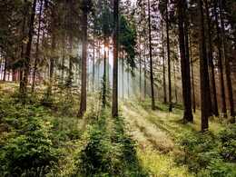
Relaxing round in the tranquillity of the high forest
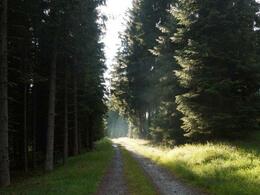
Rosenhof car park - forest road towards Eberhartsberg - along the Flammbach stream back to the starting point
A wide range of maps and information material is available at the municipal office, at the information point on the town square, at the Sandl inns, at the Raiffeisenbank Sandl and at the SPAR department stores' in Sandl.
Path number: S9
Starting place: 4251 Sandl
Destination: 4251 Sandl
duration: 1h 15m
length: 4,8 km
Altitude difference (uphill): 80m
Altitude difference (downhill): 80m
Lowest point: 892m
Highest point: 950m
difficulty: easy
condition: easy
panoramic view: Some Views
Paths covering:
Gravel
Starting point: Rosenhof parking lot
Destination: Rosenhof parking lot
further information:
- Flatly
Accessibility / arrival
Coming from Linz via the A7 and S10 - exit Grünbach/Sandl - then continue on the B38 towards Sandl and on towards Lower Austria.
- Free entry
- Suitable for groups
- Suitable for schools
- Pets allowed
- Suitable for teenagers
- Suitable for seniors
- Suitable for single travelers
- Suitable for families
- Suitable for friends
- Spring
- Summer
- Autumn
Please get in touch for more information.
Sandl 28
4251 Sandl
Phone +43 7944 81006
E-Mail office@gasthof-fleischbauer.at


