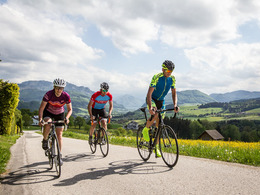
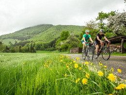
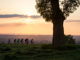
© Photo: Oberösterreich Tourismus GmbH./Robert Maybach: Enjoy the view in Upper Austria
Enjoy the view in Upper Austria
Search
Search
Close

Bad Hall Rennrad Tour Ennstal-Klassik

 Interactive elevation profile

Download GPS data
Create PDF

Tour-Details

Starting place: 4540 Bad Hall
Destination: 4540 Bad Hall

duration: 4h 5m
length: 105,0 km
Altitude difference (uphill): 1.790m
Altitude difference (downhill): 1.789m

difficulty: medium
condition: medium
panoramic view: Great panorama

Paths covering:
Asphalt, Gravel, Street

powered by TOURDATA

The classic climbs in the upper Ennstal valley including the Duathlon World Cup route over the Kreuzgruber-Höhe and numerous metres in altitude (5 mountains).
This tour, peppered with the classic climbs of the upper Enns Valley, initially leads via Aschach and Saaß, including a beautiful city view, to the gates of the old "iron city" of Steyr. Only then do you turn into the Enns Valley at Garsten - only to leave it again immediately via the Wohlfahrtsberg. Continuing eastwards and rapidly downhill, the route leads to Kleinraming and from there along the provincial border to Maria Neustift. Whether it's the Most or Traunviertel region makes little difference in the Ramingtal valley; here and there, the route climbs alongside the stream. This makes the descent through the Neustiftgraben, which ends shortly before Großraming and seamlessly merges into the sometimes painfully steep Pechgraben ascent, all the more deserved. "In d'Laussa" and on to the Enns, the route descends to Losenstein, from there undulating along the south bank to Ternberg. Here you leave the deeply furrowed "Land of the Hammers" and its densely wooded slopes to cycle home via the "Sandner Linde" into the Steyrtal (Grünburg) and from there via the "Hohe Linde".


Travelling by public transport
Route planner for independent travellers
  • Suitable for single travelers
  • Suitable for friends
  • Suitable for couples
Most economical season
  • Spring
  • Summer
  • Autumn

Please get in touch for more information.


Bad Hall Rennrad Tour Ennstal-Klassik
Tourismusverband Bad Hall
4540 Bad Hall

Phone +43 7258 7200 - 0
E-Mail info@badhall.at
Web www.badhall.at
http://www.badhall.at

We speak the following languages

German

 Interactive elevation profile

Download GPS data
Create PDF

Tour-Details

Starting place: 4540 Bad Hall
Destination: 4540 Bad Hall

duration: 4h 5m
length: 105,0 km
Altitude difference (uphill): 1.790m
Altitude difference (downhill): 1.789m

difficulty: medium
condition: medium
panoramic view: Great panorama

Paths covering:
Asphalt, Gravel, Street

powered by TOURDATA