The pilgrimage route
5360 St. Wolfgang im Salzkammergut

Living history - adventure walks in the Salzkammergut Region: The Pilgrim’s Path.
An historic pilgrim’s way leads from St. Gilgen, via Fürberg, over the Falkenstein and the hamlet of Ried to St. Wolfgang. This unique European cultural route with its 24 marked places of interest documents its special importance, from the prehistoric places of worship, through the Christian ministry of St. Wolfgang to the peak of the pilgrimages and the beginning of modern-day tourism.
The path, apart from the relatively steep climb up and down the Falkenstein (200m ascent), is suitable for the whole family and is lined with impressive memorials and exceptional scenic variety.
Paths covering:
further information:
Details - hiking
- themed path

Direction information: Departure

Direction information: straight ahead

Direction information: straight ahead

Direction information: right

Direction information: straight ahead

Direction information: straight ahead

Direction information: straight ahead

Direction information: straight ahead

Direction information: straight ahead

Direction information: straight ahead

Direction information: straight ahead
ship pier

Direction information: straight ahead

Direction information: straight ahead

Direction information: left

Direction information: straight ahead

Direction information: straight ahead

Direction information: straight ahead
Stones to counteract sin
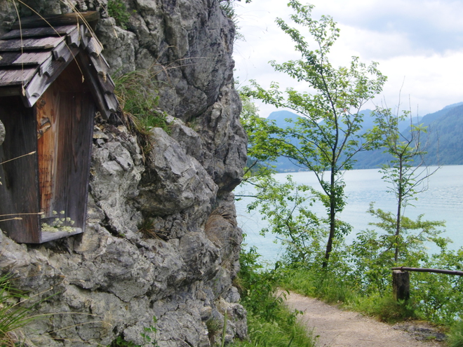
A large pile of stones can be seen opposite this chapel, whose origin goes back to the time of the pilgrims. Whoever climbed this "holy mountain" had, out of respentance, to carry a large rock with him before finally depositing it here.

Direction information: straight ahead

Direction information: straight ahead
The so-called !Wolfgang bed" is supposed to have served St. Wolfgang as a resting-place.

Direction information: straight ahead
A monk accompanied St. Wolfgang on the Falkenstein.
But he soon felt life in the wilderness to be all too difficult, especially as he had to suffer a tremendous thirst. So the saint struck his stick against a stone and this spring sprang forth which still flows today. The water is reputed to heal eye problems. Water diviners point ourt that, apparently, it has special qualities.

Direction information: straight ahead
Signs in the stone
Here, at the highest point of the route, the three impressions in the rock can be traced back to St. Wolfgang.

Direction information: straight ahead

Direction information: straight ahead

Direction information: straight ahead

Direction information: straight ahead
When St. Wolfgang climbed down from the Falkenstein to look for his axe, he sat down on this stone to rest.

Direction information: right

Direction information: straight ahead
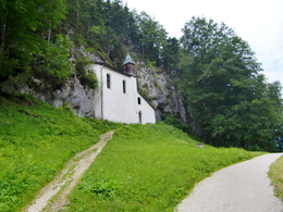
The chapel on the Falkenstein path is a typical private chapel.
It belongs to the Dichtl farmstead, which itself was first documented before 1330. The view from the top shows that the village of Ried is largely farmland. However, with the growth of tourism in the area, several prettily decorated villas habe appeared, built by the wealthy as summer residences.

Direction information: straight ahead

Direction information: straight ahead

Direction information: straight ahead

Direction information: straight ahead

Direction information: straight ahead

Direction information: straight ahead

Direction information: Destination
On the mainroad B 158 to St. Gilgen, the start of the hikingtour ist directly in the center of St. Gilgen.
Parking- Parking space: 30
- Parking area for disabled: 2
- Bus parking space: 2
- Suitable for kids (6 - 10 Year)
- Suitable for families
- Suitable for friends
- Suitable for couples
- Spring
- Summer
- Autumn
- Early winter
Please get in touch for more information.
Au 140
5360 St. Wolfgang im Salzkammergut
Phone +43 6138 8003
Fax machine +43 6138 8003 - 81
E-Mail stwolfgang@wolfgangsee.at
Web wolfgangsee.salzkammergut.at


