Skitour on the Pitschenberg
Starting place: 5350 Strobl
Destination: 5350 Strobl
Moosgasse 275
5350 Strobl
5350 Strobl

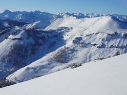
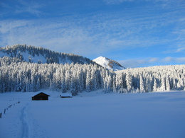
The trapezium shaped Pitscherberg Mountain on the western side of the Postalm plateau is considered an easy ski route; both the ascent and the descent lead mainly over flat and undulating terrain, only the summit slope is steeper.
From the Postalm plateau, 2½ hours.
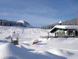
From Car Park 1, go up along the no. 1 ski lift to the level area called the Innerlienbachalm, then right, uphill on a track for a while until you can see the huts on the Labenbergalm plateau. Passing the huts, with them on your left, climb in a northwesterly direction up to the Pitscherbergalm plateau, 1449 m. This point can also be reached from the upper car park (Car Park 3) by going level towards the south west to the Berggasthaus Huber (small inn). Continuing further on a flat ridge, you meet the road coming up from Car Park 1. Continue further in the same direction over undulating terrain to the start of the steep summit slope which can be negotiated by zigzagging up to the summit.
Descent:
A delightful run down the steep summit slope eastwards onto the undulating plateau. Then along the track used for the ascent which leads over the Pitscherbergalm plateau (a moderately-steep run) to Car Park 1 on the Postalm Plateau.
Parking
- Parking space: 100
- Bus parking space: 5
- Suitable for friends
- Suitable for couples
- Deep winter
Please get in touch for more information.
Moosgasse 275
5350 Strobl
Phone +43 6137 7255
Fax machine +43 6137 5958
E-Mail office@wolfgangsee.at
Web wolfgangsee.salzkammergut.at
https://wolfgangsee.salzkammergut.at


