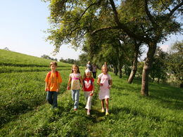
Naturparkhöhenweg
Path number: 13
Starting place: 4612 Scharten
Destination: 4612 Scharten
Route: rt Finklham(GH Bachleitner or Pizzeria GO-IN) - turn right towards Roithen - past Mittermeierkapelle - at the T-junction turn right into Roithenkogelstraße - turn right into Hartbergerstraße - past the bee nature trail - continue to Mostheurigen Eigner - to Finklham and turn right back to the starting point.
Map available Mon. - Fri. during office hours at the nature park office and at both municipal offices in Scharten and St. Marienkirchen.
Refreshment stops: GH Bachleitner, Mostheuriger Eigner, Restaurant GO-IN
Map available Mon. - Fri. during office hours at the nature park office and at both municipal offices in Scharten and St. Marienkirchen.
Refreshment stops: GH Bachleitner, Mostheuriger Eigner, Restaurant GO-IN
- Suitable for groups
- Suitable for schools
- Suitable for kids (all ages)
- Pets allowed
- Suitable for families
- Spring
- Summer
- Autumn
Please get in touch for more information.
Scharten 60
4612 Scharten
Phone +43 7249 47112 - 25
E-Mail info@obsthuegelland.at
Web www.obsthuegelland.at
http://www.obsthuegelland.at


