Schafberg via Purtschellersteig
Starting place: 5360 St. Wolfgang im Salzkammergut
Destination: 5360 St. Wolfgang im Salzkammergut
Au 140
5360 St. Wolfgang im Salzkammergut
5360 St. Wolfgang im Salzkammergut

Up to the summit of Schafberg Mountain via the Auerriesenweg and the Purtschellersteig paths.
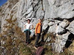
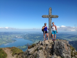
Starting in the centre of St. Wolfgang, this mountain tour leads up to the Kalvarienberg, continues on route no. 25, passes the Aubauer farm then goes along the forest track following the Dittelbach stream to Lake Mönichssee. Stay left here and follow the Purtschellersteig path via a short secured rope section through a steep, rocky area until you reach the summit of the Schafberg Mountain at 1,783m.
Starting place: 5360 St. Wolfgang im Salzkammergut
Destination: 5360 St. Wolfgang im Salzkammergut
duration: 4h 0m
length: 7,6 km
Altitude difference (uphill): 1.180m
Altitude difference (downhill): 30m
Lowest point: 558m
Highest point: 1.720m
difficulty: difficult
condition: difficult
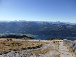
panoramic view: Great panorama
Paths covering:
Climbing mount, Hiking trail
Starting point: Start St. Wolfgang
Destination: Schafberg 1,783 m
Accessibility / arrival
Starts at the Weißer Bär guesthouse in the town of St. Wolfgang.
- Parking space: 2
Most economical season
- Spring
- Summer
- Autumn
Please get in touch for more information.
Au 140
5360 St. Wolfgang im Salzkammergut
Phone +43 6138 8003
Fax machine +43 6138 8003 - 81
E-Mail info@wolfgangsee.at
Web wolfgangsee.salzkammergut.at
https://wolfgangsee.salzkammergut.at


