Esplanade Gmunden zum Toscanapark
Starting place: 4810 Gmunden
Destination: 4810 Gmunden
Toscanapark 1
4810 Gmunden
4810 Gmunden

Enjoy a lovely walk along the Gmunden Esplanade to the Toscana Park on the Toscana peninsula
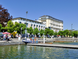
Start at Gmunden Town Hall Square and listen to the sounds of the ceramic carillon in Gmunden Town Hall. The path leads along the romantic Esplanade with a wonderful view of Schloss Ort and the mountain panorama (Grünberg, Traunstein, Höllengebirge and Totes Gebirge).You walk for approx. 25 minutes until you turn left at the Orther crossroads approx. 100 metres after the yacht club in the direction of See- und Landschloß Ort.
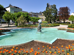
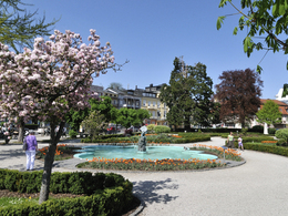
After approx. 5 minutes you reach the Toscanapark where you can enjoy a cosy coffee break in the Villa Toscana café.
You can return to the centre of Gmunden either on foot, with the city bus or the slow train (only from May to October).
- All weather
- Suitable for groups
- Suitable for schools
- Suitable for pushchairs
- Pets allowed
- Suitable for families
- Spring
- Summer
- Autumn
- Early winter
- Deep winter
Suitable for wheelchairs: Not all of the legally stipulated ÖNORM are complied with. In principle, this object is suitable for wheelchairs and no assistance is necessary.
other information
- Toilet facility for disabled people
Toscanapark 1
4810 Gmunden
Phone +43 7612 74451
E-Mail info@traunsee-almtal.at
Web www.traunsee-almtal.at
http://www.traunsee-almtal.at


