Trail "Rosenhof"
Path number: S2
Starting place: 4251 Sandl
Destination: 4251 Sandl
Sandl 28
4251 Sandl
4251 Sandl

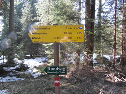
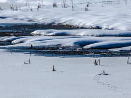
Path around the "Rosenhofer" ponds
3 different, combined all the trails near the "Rosenhofer" skirting ponds.In the north right down to the Czech border.
Path number: S2
Starting place: 4251 Sandl
Destination: 4251 Sandl
duration: 0h 24m
length: 2,6 km
Altitude difference (uphill): 30m
Altitude difference (downhill): 30m
Lowest point: 934m
Highest point: 966m
difficulty: very easy
condition: very easy
panoramic view: Dreamtour
Paths covering:
Gravel
Starting point: Rosenhof parking lot
Destination: Rosenhof parking lot
further information:
- Flatly
Accessibility / arrival
Coming from Linz via the A7 and S10 - exit Grünbach/Sandl - then continue on the B38 towards Sandl and on towards Lower Austria. Parking at the Rosenhof snack stand
- Free entry
- All weather
- Suitable for groups
- Suitable for schools
- Suitable for pushchairs
- Pets allowed
- Suitable for families
- Spring
- Summer
- Autumn
- Early winter
- Deep winter
Please get in touch for more information.
Sandl 28
4251 Sandl
Phone +43 7944 81006
E-Mail office@gasthof-fleischbauer.at


