

stories trail


- pets allowed
- Suitable for families
- Suitable for kids (all ages)
- Flatly
Interactive elevation profile
Create PDF
Tour-Details
Path number: S4
Starting place: 4251 Sandl
Destination: 4251 Sandl
duration: 1h 15m
length: 3,7 km
Altitude difference (uphill): 80m
Altitude difference (downhill): 80m
Lowest point: 894m
Highest point: 956m
difficulty: easy
condition: easy
panoramic view: Some Views
Paths covering:
Asphalt, Gravel
powered by TOURDATA
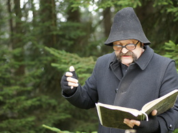
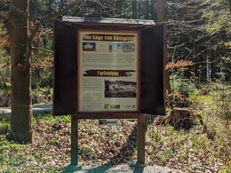
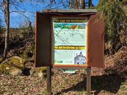
Mystical themed hiking trail with stories around Sandl
Easily accessible with an all-terrain pushchair, bad weather programme: exhibition of legends in the Hinterglasmuseum
Trail features:
- Family and child-friendly
- Easy access trail
- Trail Condition good
- Atmospheric resting place in a chapel
- Lookout point at the highest elevation of the lower Mühlviertel "Viehberg"
further information:
- Flatly
Details - hiking
- themed path
Parking
- Parking space: 18
- Parking area for disabled: 1
- Bus parking space: 2
- Charging point for electric cars (fees apply)
- Charging point for e-bikes (free of charge)
- Free entry
- Suitable for groups
- Suitable for schools
- Suitable for kids (all ages)
- Pets allowed
- Suitable for teenagers
- Suitable for seniors
- Suitable for single travelers
- Suitable for friends
- Suitable for couples
- Suitable for children
- Spring
- Summer
- Autumn
Please get in touch for more information.

Sandl 28
4251 Sandl
Phone +43 7944 81006
E-Mail office@gasthof-fleischbauer.at
")

")
")

")
")

Interactive elevation profile
Create PDF
Tour-Details
Path number: S4
Starting place: 4251 Sandl
Destination: 4251 Sandl
duration: 1h 15m
length: 3,7 km
Altitude difference (uphill): 80m
Altitude difference (downhill): 80m
Lowest point: 894m
Highest point: 956m
difficulty: easy
condition: easy
panoramic view: Some Views
Paths covering:
Asphalt, Gravel
powered by TOURDATA