

Kleine Grenzlandtour


- culinary interesting
- culturally interesting
- Flatly
Interactive elevation profile
Create PDF
Tour-Details
Starting place: 4240 Waldburg
Destination: 4240 Waldburg
duration: 3h 32m
length: 43,6 km
Altitude difference (uphill): 812m
Altitude difference (downhill): 805m
Lowest point: 550m
Highest point: 802m
difficulty: medium
condition: medium
panoramic view: Great panorama
Paths covering:
Asphalt
powered by TOURDATA
Start at the UaB farm Desl (altitude 700 m)
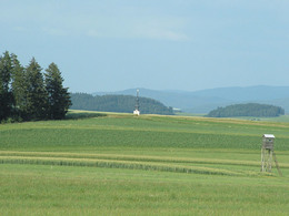
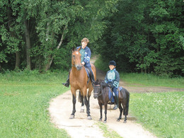
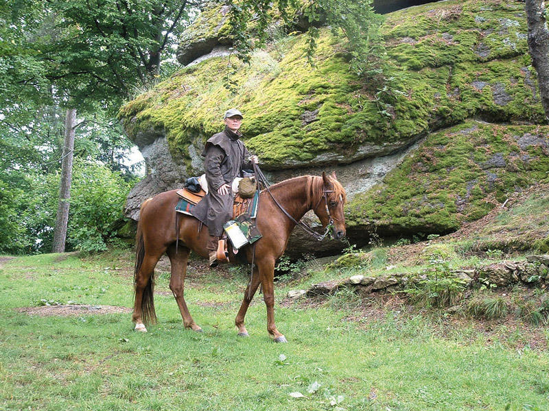
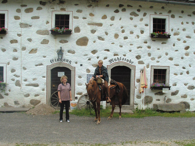
At the beginning, only one longer tarmac section around Waldburg of 3 km in length (but there is an "unofficial" NW around Waldburg!) - from then on NW across the sparsely wooded plateau to the Miesenwald near Bad Leonfelden (km 12.5; 700 m). 1.5 km forest path through the marvellous Miesenwald forest and a further 3 km NW and downhill on the ZW to the RR Grasslmühle. From there along the Mühlenweg onto the Grenzlandweg and directly along the state border to the former customs house in Stiftung (km 20; 700 m). Continue along the NW to the Heidenstein in Eibenstein (km 24; 730 m). On meadows and forest paths and a stretch on the former PEB route to RH Stöglehner in Rainbach (km 32; 700 m). From there, head NW across the generous high plateau landscape to St. Peter (km 38; 700 m). On the forest path downhill to the RR Eibensteiner in Trölsberg (km 42; 550 m). The last 4 km ascend evenly to 700 m above sea level to the Reiterherberge Desl.
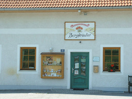
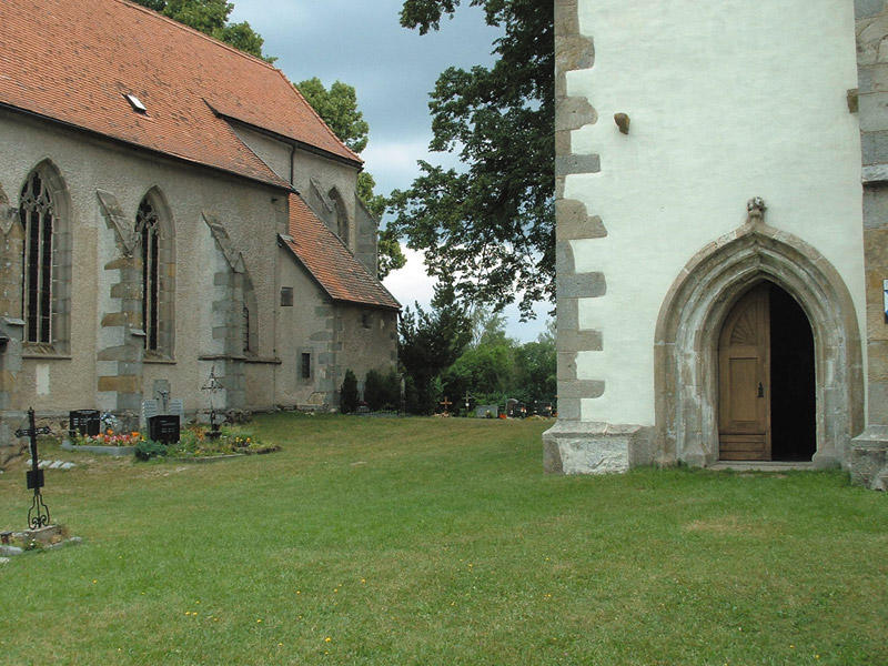
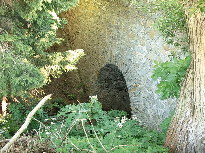
Sights along the bridleway: Sights along the bridleway: 3 late Gothic winged altars in Waldburg, mountain herb hall, windmills in Schenkenfelden, Hinterkönigschlag peasant war memorial, Grasslmühle mill, state border, Lorenzmühle mill, Heidenstein, original horse-drawn railway line, PEB viaduct near Rainbach, St. Peter's church.
further information:
- culinary interesting
- Flatly
- Board possible
Details riding
- Area: medium
- Good riding experience: easy
Most economical season
- Spring
- Summer
- Autumn
Please get in touch for more information.
Marreith 23
4240 Freistadt
Phone +43 7956 7304
E-Mail office@reit-erlebnis-akademie.at
Web www.reit-erlebnis-akademie.at
Web www.muehlviertel.at
http://www.reit-erlebnis-akademie.at
http://www.muehlviertel.at
http://www.muehlviertel.at
Interactive elevation profile
Create PDF
Tour-Details
Starting place: 4240 Waldburg
Destination: 4240 Waldburg
duration: 3h 32m
length: 43,6 km
Altitude difference (uphill): 812m
Altitude difference (downhill): 805m
Lowest point: 550m
Highest point: 802m
difficulty: medium
condition: medium
panoramic view: Great panorama
Paths covering:
Asphalt
powered by TOURDATA