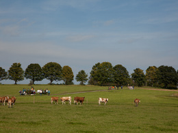
© Photo: Oberösterreich Tourismus GmbH./Robert Maybach: Enjoy the view in Upper Austria
Enjoy the view in Upper Austria
Search
Search
Close

Albrechtschlag-Runde R2

  • All weather

 Interactive elevation profile

Download GPS data
Create PDF

Tour-Details

Path number: R2
Starting place: 4202 Hellmonsödt
Destination: 4202 Hellmonsödt

duration: 1h 25m
length: 5,4 km
Altitude difference (uphill): 59m
Altitude difference (downhill): 65m

Lowest point: 802m
Highest point: 868m
difficulty: easy
condition: easy
panoramic view: Great panorama

Paths covering:
Asphalt, Gravel

powered by TOURDATA

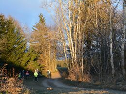
The Albrechtschlag circuit could also be called the sun promenade, as it runs through open terrain north of Hellmonsödt.
Starting at the market square, walk in the direction of Reichenau past the Gasthaus Kirchenwirt. Turn left at the fire station and follow path no. 160 (DMW-Donau-Moldau-Wanderweg) to the Albrechtschlag junction. Turn right onto path no. 78 in the direction of Albrechtschlag. After reaching Reichenauer-Bezirksstrasse, turn right. After about 100 m, turn half-left in the direction of Eckartsbrunn on path no. 78. In Eckartsbrunn you return to path no. 79. This path takes you back to the starting point. Length: 5.5 km, duration: 1.5 hours

further information:
  • Board possible

Details - hiking
  • cleared winter hiking path
Parking
  • Parking space: 100
  • Parking area for disabled: 3
  • Bus parking space: 3
E-service station / recharging station
  • Charging point for e-bikes (free of charge)
Travelling by public transport
Route planner for independent travellers
  • All weather
Most economical season
  • Spring
  • Summer
  • Autumn
  • Early winter
  • Deep winter

Please get in touch for more information.


Albrechtschlag-Runde R2
L(i)ebenswertes Hellmonsödt
Marktplatz 1
4202 Hellmonsödt

Phone +43 7215 2255
E-Mail gemeinde@hellmonsoedt-zwettl.at
Web www.hellmonsoedt.ooe.gv.at/
http://www.hellmonsoedt.ooe.gv.at/

We speak the following languages

German

 Interactive elevation profile

Download GPS data
Create PDF

Tour-Details

Path number: R2
Starting place: 4202 Hellmonsödt
Destination: 4202 Hellmonsödt

duration: 1h 25m
length: 5,4 km
Altitude difference (uphill): 59m
Altitude difference (downhill): 65m

Lowest point: 802m
Highest point: 868m
difficulty: easy
condition: easy
panoramic view: Great panorama

Paths covering:
Asphalt, Gravel

powered by TOURDATA