

Ziehberg & Magdalenabergrunde


- culinary interesting
Interactive elevation profile
Create PDF
Tour-Details
Starting place: 4600 Wels
Destination: 4600 Wels
duration: 6h 30m
length: 91,1 km
Altitude difference (uphill): 815m
Altitude difference (downhill): 816m
Lowest point: 312m
Highest point: 683m
difficulty: difficult
condition: difficult
panoramic view: Dreamtour
Paths covering:
Asphalt
powered by TOURDATA
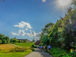
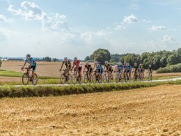
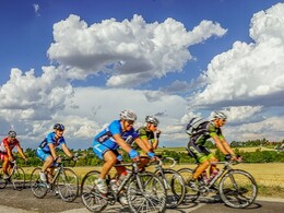
From Wels into the Almtal over long climbs up the Ziehberg, down the serpentine road towards Michldorf for a cosy coffee break. Strengthened for the climb up the Magdalenaberg and via Pettenbach back to Wels.


")

")
")
")
Most economical season
- Spring
- Summer
- Autumn
Please get in touch for more information.
Stadtplatz 44
4600 Wels
Phone +43 7242 67722 - 22
E-Mail info@wels.at
Web www.wels.at/rennrad
Web www.wels.at/tourismusregion
https://www.wels.at/rennrad
https://www.wels.at/tourismusregion
https://www.wels.at/tourismusregion
Interactive elevation profile
Create PDF
Tour-Details
Starting place: 4600 Wels
Destination: 4600 Wels
duration: 6h 30m
length: 91,1 km
Altitude difference (uphill): 815m
Altitude difference (downhill): 816m
Lowest point: 312m
Highest point: 683m
difficulty: difficult
condition: difficult
panoramic view: Dreamtour
Paths covering:
Asphalt
powered by TOURDATA