

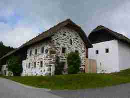
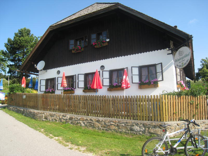
Open-air museum Pelmbergstüberl round R7


- All weather
Interactive elevation profile
Create PDF
Tour-Details
Path number: R7
Starting place: 4202 Hellmonsödt
Destination: 4202 Hellmonsödt
duration: 3h 1m
length: 10,8 km
Altitude difference (uphill): 207m
Altitude difference (downhill): 204m
Lowest point: 719m
Highest point: 876m
difficulty: medium
condition: medium
panoramic view: Great panorama
Paths covering:
Asphalt, Street, Hiking trail, Other
powered by TOURDATA
Hiking trail from the market square via Försterstraße - Steinerner Weg - Weeignersdorf - Schnaitter - Ackerl - open-air museum back to Hellmonsödt
Parking
- Parking space: 50
- Parking area for disabled: 5
- Bus parking space: 2
- All weather
- Spring
- Summer
- Autumn
- Early winter
Please get in touch for more information.
Marktplatz 1
4202 Hellmonsödt
Phone +43 7215 2255
E-Mail gemeinde@hellmonsoedt-zwettl.at
Web www.hellmonsoedt.ooe.gv.at/
http://www.hellmonsoedt.ooe.gv.at/
Interactive elevation profile
Create PDF
Tour-Details
Path number: R7
Starting place: 4202 Hellmonsödt
Destination: 4202 Hellmonsödt
duration: 3h 1m
length: 10,8 km
Altitude difference (uphill): 207m
Altitude difference (downhill): 204m
Lowest point: 719m
Highest point: 876m
difficulty: medium
condition: medium
panoramic view: Great panorama
Paths covering:
Asphalt, Street, Hiking trail, Other
powered by TOURDATA