

Jakobsweg

- culturally interesting
- Multi-day tour
- Possible accommodation
Interactive elevation profile
Create PDF
Tour-Details
Starting place: 4780 Schärding
Destination: 5020 Salzburg
duration: 6h 1m
length: 23,5 km
Altitude difference (uphill): 183m
Altitude difference (downhill): 179m
Lowest point: 300m
Highest point: 342m
difficulty: easy
condition: medium
panoramic view: Some Views
Paths covering:
Asphalt, Hiking trail
powered by TOURDATA
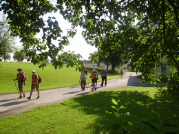
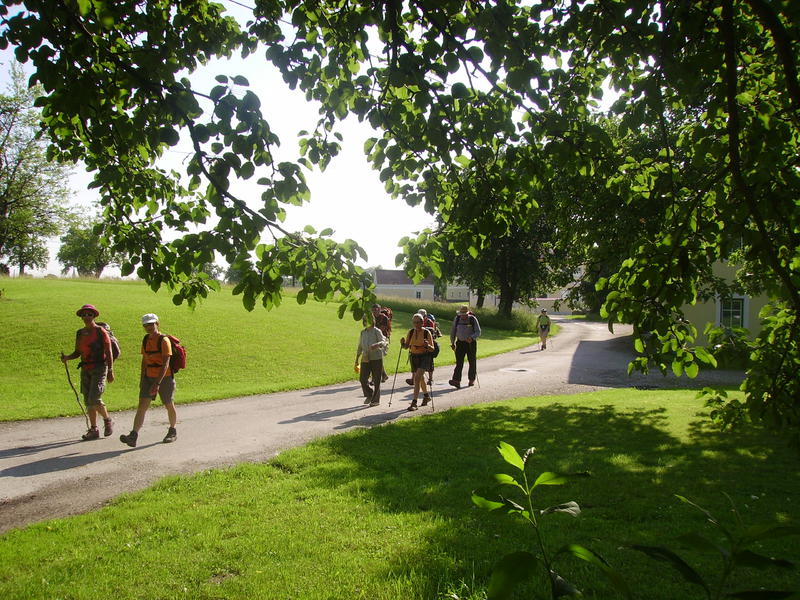
From Passau to Salzburg This section of the Way of St James is a continuation of the pilgrimage route from Krumlov (Czech Republic) to Passau and connects the important episcopal cities of Passau and Salzburg.
The route in Passau begins at St Stephen's Cathedral or at the Inn bridge. Via Neuburg von Vornbach you follow the left bank of the Inn to Schäriding. There you cross the Inn on the old bridge and orientate yourself from Schärding to Kirchdorf by the shell symbol on the yellow-blue marker boards of the Via Nova pilgrimage route.
The route in Passau begins at St Stephen's Cathedral or at the Inn bridge. Via Neuburg von Vornbach you follow the left bank of the Inn to Schäriding. There you cross the Inn on the old bridge and orientate yourself from Schärding to Kirchdorf by the shell symbol on the yellow-blue marker boards of the Via Nova pilgrimage route.
Payment methods
Other payment methods
Cash payment
- Suitable for groups
- Suitable for seniors
- Suitable for single travelers
- Suitable for friends
- Suitable for couples
- Spring
- Summer
- Autumn
Please get in touch for more information.
Innbruckstraße 29
4780 Schärding
Phone +43 7712 4300 - 0
Fax machine +43 7712 4320
E-Mail info@schaerding.info
Web www.schaerding.at
Web www.weitwanderwege.com/wege/jakobsw…
http://www.schaerding.at
https://www.weitwanderwege.com/wege/jakobsweg-innviertel/?etappe=1
https://www.weitwanderwege.com/wege/jakobsweg-innviertel/?etappe=1
Interactive elevation profile
Create PDF
Tour-Details
Starting place: 4780 Schärding
Destination: 5020 Salzburg
duration: 6h 1m
length: 23,5 km
Altitude difference (uphill): 183m
Altitude difference (downhill): 179m
Lowest point: 300m
Highest point: 342m
difficulty: easy
condition: medium
panoramic view: Some Views
Paths covering:
Asphalt, Hiking trail
powered by TOURDATA