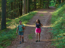
Kampursprungweg
You hike via the villages of Glashütten and Hirschau to the source of the Kamp at the northernmost point of the municipality. From there, the little stream accompanies you on the border between the Mühlviertel and Waldviertel. A leisurely up and down takes you back to Liebenau via the village of Schanz.
Paths covering:
further information:
- Flatly
- Possible accommodation
- Board possible
All year round
Exit Linz, continue on Mühlkreis motorway/A7/E55
exit Mühlkreis motorway/A7/E55, continue on Mühlkreis motorway/A7/E55
turn left onto Mauthausener-Bundesstraße/B123
follow direction: Wartberg Weitersfelden Mauthausen Gutau
turn left onto Mauthausener-Bundesstraße/B123
turn right onto Bahnhofstraße
enter Pregarten, continue on Bahnhofstraße
in Pregarten continue on Stadtplatz
exit Pregarten, continue on Gutauer Straße
turn half left onto Pregartsdorf
continue
turn half right
keep right onto Marktplatz
turn right onto Marktplatz
turn half right
turn left
left turn
half turn left onto Hauptstraße
half turn left
half turn right onto Langfirling
turn right onto Weitersfelden
half turn left onto Nadelbach
half turn right onto Liebenau
- All weather
- Suitable for pushchairs
- Spring
Please get in touch for more information.
Liebenau 41
4252 Liebenau
Phone +43 7953 8111
E-Mail r.ruttenstock@liebenau.at
Web www.liebenau.at


