ZweiFlüsseWeg
4282 Pierbach

ZweiFlüsseWeg No. 92 - The varied landscape ranges from 800 metre high hills to the 486 metre deep, almost untouched river landscape of the Große and Kleine Naarn.
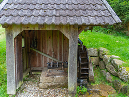
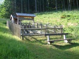
The Zweiflüsseweg starts with a unique climb up the Höfnerberg. An idyllic forest path leads to the Irxenmayr water bottling plant. Here you can also visit the only "Kuglmühle" mill in Upper Austria. Here, granite balls are moulded from misshapen stones with the help of water. Once you have reached the bottom of the valley, you walk for around 3 kilometres along the picturesque course of the Kleine Naarn river. After about two thirds of the way, you reach the place that is also depicted in Pierbach's municipal coat of arms - the confluence of the Große and Kleine Naarn rivers. Finally, the trail leads along the Große Naarn back to Pierbach.
Paths covering:
further information:
- Flatly
- Board possible
Information at the municipal office
Exit Linz, continue on Mühlkreis motorway/A7/E55
exit Mühlkreis motorway/A7/E55, continue on Mühlkreis motorway/A7/E55
exit Bad Zell, continue on Linzer Straße/B124
exit Bad Zell, continue on Auf der Au/B124
turn right onto Dorfstraße/B124
- All weather
- Suitable for kids (3 - 10 Year)
- Summer
Please get in touch for more information.
Dorfstraße 22
4282 Pierbach
Phone +43 7267 8255
Fax machine +43 7267 8255 - 14
E-Mail gemeinde@pierbach.ooe.gv.at
Web www.pierbach.at


