

O4 Hussensteinweg

Interactive elevation profile
Create PDF
Tour-Details
Path number: O4
Starting place: 4271 St. Oswald bei Freistadt
Destination: 4271 St. Oswald bei Freistadt
duration: 3h 31m
length: 11,3 km
Altitude difference (uphill): 362m
Altitude difference (downhill): 360m
Lowest point: 610m
Highest point: 949m
difficulty: easy
condition: easy
panoramic view: Individual Views
Paths covering:
Street, Hiking trail
powered by TOURDATA
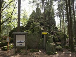
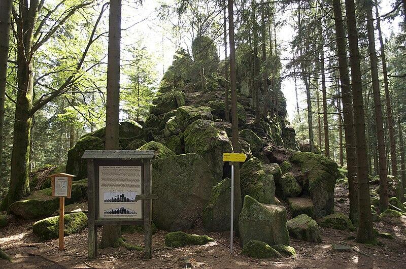
Hussensteinweg Marking start tourist information municipal office, new sports centre, Breitenberg, Fünfling "viewpoint", Hussenstein (951 m), St. Michael (pilgrimage church, 918 m), Oberrauchenödt (inn, Wednesday rest day), Rannahof (youth and hiking hostel of the Friends of Nature), Modlbauer, Etzelsdorf, Birkenfeld, Am Steinhügel, St. Oswald (approx. 3.5 hours - 12 km)
Note: The route is a good 11 km long (the St. Oswald hiking map indicates 14 km)!
Note: The route is a good 11 km long (the St. Oswald hiking map indicates 14 km)!
Starting point: Sankt Oswald near Freistadt municipal office
Destination: Sankt Oswald near Freistadt municipal office
Most economical season
- Spring
- Summer
- Autumn
Please get in touch for more information.
Markt 80
4271 St. Oswald bei Freistadt
Phone +43 7945 7255
E-Mail gemeinde@stoswald.at
Web www.stoswald.at
Web www.muehlviertel-urlaub.at/wandern
http://www.stoswald.at
http://www.muehlviertel-urlaub.at/wandern
http://www.muehlviertel-urlaub.at/wandern

Interactive elevation profile
Create PDF
Tour-Details
Path number: O4
Starting place: 4271 St. Oswald bei Freistadt
Destination: 4271 St. Oswald bei Freistadt
duration: 3h 31m
length: 11,3 km
Altitude difference (uphill): 362m
Altitude difference (downhill): 360m
Lowest point: 610m
Highest point: 949m
difficulty: easy
condition: easy
panoramic view: Individual Views
Paths covering:
Street, Hiking trail
powered by TOURDATA