

Buchebenrunde - "The Cozy"


- pets allowed
- Suitable for families
- Suitable for pushchairs
- Suitable for kids (all ages)
- Flatly
Interactive elevation profile
Create PDF
Tour-Details
Starting place: 4574 Vorderstoder
Destination: 4574 Vorderstoder
duration: 0h 45m
length: 2,3 km
Altitude difference (uphill): 50m
Altitude difference (downhill): 46m
Lowest point: 745m
Highest point: 790m
difficulty: easy
condition: easy
panoramic view: Great panorama
Paths covering:
Asphalt, Gravel, Other
powered by TOURDATA
The Bucheben round is "the cosy one" among the loop trails in Vorderstoder and offers a magnificent panorama. It is suitable for young and old, in summer and winter.
Starting point is the village centre of Vorderstoder. From there, head east and turn left at the Steinerstadel. After a short stretch downhill, you come to a wooden bridge that leads over the Schneckenbach stream.
Soon you can already see the Stoder mountains and wide meadow slopes and enjoy this view on a bench. Continue until you reach the Bucheben junction. There, turn left and walk down the road until you reach the Stockerkapelle chapel. Turn left onto the "old Stockerbergstraße" and hike uphill back to the village.
Starting point: Municipal office Vorderstoder
Destination: Municipal office Vorderstoder
further information:
- Flatly
Details - hiking
- cleared winter hiking path
Accessibility / arrival
Start and finish are directly in the centre of Vorderstoder at the municipal office.
(47.712726, 14.224856)
Parking is available in the signposted car parks in the immediate vicinity.
The nearest bus stop is called "Gh Steinerweirt" and is a minute's walk away.
- Suitable for groups
- Suitable for schools
- Suitable for kids (all ages)
- Suitable for pushchairs
- Pets allowed
- Suitable for teenagers
- Suitable for seniors
- Suitable for single travelers
- Suitable for friends
- Suitable for couples
- Suitable for children
- Spring
- Summer
- Autumn
Please get in touch for more information.

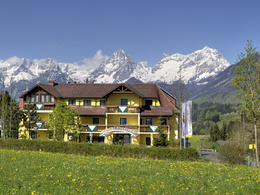
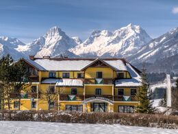
Vorderstoder Nr. 66
4574 Vorderstoder
Phone +43 7564 8255
E-Mail vorderstoder@pyhrn-priel.net
Web www.urlaubsregion-pyhrn-priel.at
https://www.urlaubsregion-pyhrn-priel.at
")
")
Interactive elevation profile
Create PDF
Tour-Details
Starting place: 4574 Vorderstoder
Destination: 4574 Vorderstoder
duration: 0h 45m
length: 2,3 km
Altitude difference (uphill): 50m
Altitude difference (downhill): 46m
Lowest point: 745m
Highest point: 790m
difficulty: easy
condition: easy
panoramic view: Great panorama
Paths covering:
Asphalt, Gravel, Other
powered by TOURDATA