

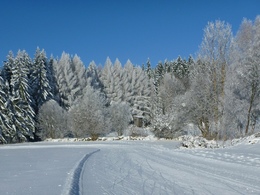
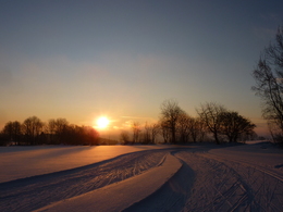
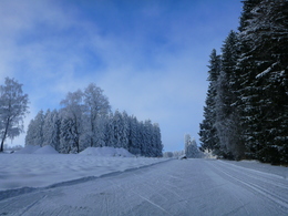
Nordstern Weigetschlag - DNAsport round


Interactive elevation profile
Create PDF
Tour-Details
Starting place: 4190 Bad Leonfelden
Destination: 4190 Bad Leonfelden
duration: 2h 1m
length: 7,6 km
Altitude difference (uphill): 93m
Altitude difference (downhill): 94m
Lowest point: 824m
Highest point: 878m
difficulty: difficult
condition: difficult
panoramic view: Dreamtour
Paths covering:
snow
powered by TOURDATA
Trail not in operation
Classic and skatingThe circuit is marked red 3.
Opening hours: 8.00-20.00 hrs.
The trail is subject to a charge.
Current trail report also available on Bergfex
Day tickets € 6,- available from the coin-operated machine at the car park. Season tickets € 79,- available at Intersport Pötscher Freistadt-Linz-Ottensheim, Leonfeldner-Hof, Tourismusverband Mühlviertler Hochland, Skinfit Linz.
(Active skiers up to the age of 15 do not pay a trail fee).
Cross-country ski hire:
Berggasthof Waldschenke Tel: +43 7213/6279, Happys Schischule Tel: +43 664/1338525
Starting point: Parking space at the cross-country entrance / ticket machine
Destination: Parking space at the cross-country entrance / ticket machine
Details - Trail
- Nordic skiing facilities: Marked Nordic skiing run
- Type of Nordic skiing run: Classic + skating
If the snow is suitable, 8 a.m. to 8 p.m.
- Suitable for single travelers
- Suitable for friends
- Early winter
- Deep winter
Please get in touch for more information.
Hauptplatz 19
4190 Bad Leonfelden
Phone +43 7213 6397
E-Mail office@muehlviertlerhochland.at
Web www.nordsternsport.at/
Web www.bergfex.at/oberoesterreich/lang…
https://www.nordsternsport.at/
https://www.bergfex.at/oberoesterreich/langlaufen/muehlviertler-hochland/loipen/7426/
https://www.bergfex.at/oberoesterreich/langlaufen/muehlviertler-hochland/loipen/7426/
Interactive elevation profile
Create PDF
Tour-Details
Starting place: 4190 Bad Leonfelden
Destination: 4190 Bad Leonfelden
duration: 2h 1m
length: 7,6 km
Altitude difference (uphill): 93m
Altitude difference (downhill): 94m
Lowest point: 824m
Highest point: 878m
difficulty: difficult
condition: difficult
panoramic view: Dreamtour
Paths covering:
snow
powered by TOURDATA